See your Due Diligence Report data on one interactive map. Navigate environmental and property information without scrolling backwards and forwards through a PDF.
From scrolling through pages to exploring your site.
One site. Multiple layers. One view.
Every site is different. ATLAS lets you control what appears on the map so you can focus on the information relevant to the assessment you are working on.
Contamination
PFAS
Groundwater
Property Boundaries
Flood
Bush Fire
Vegetation
Historical Imagery
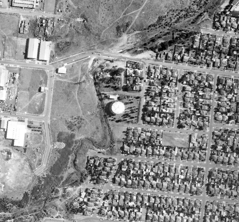
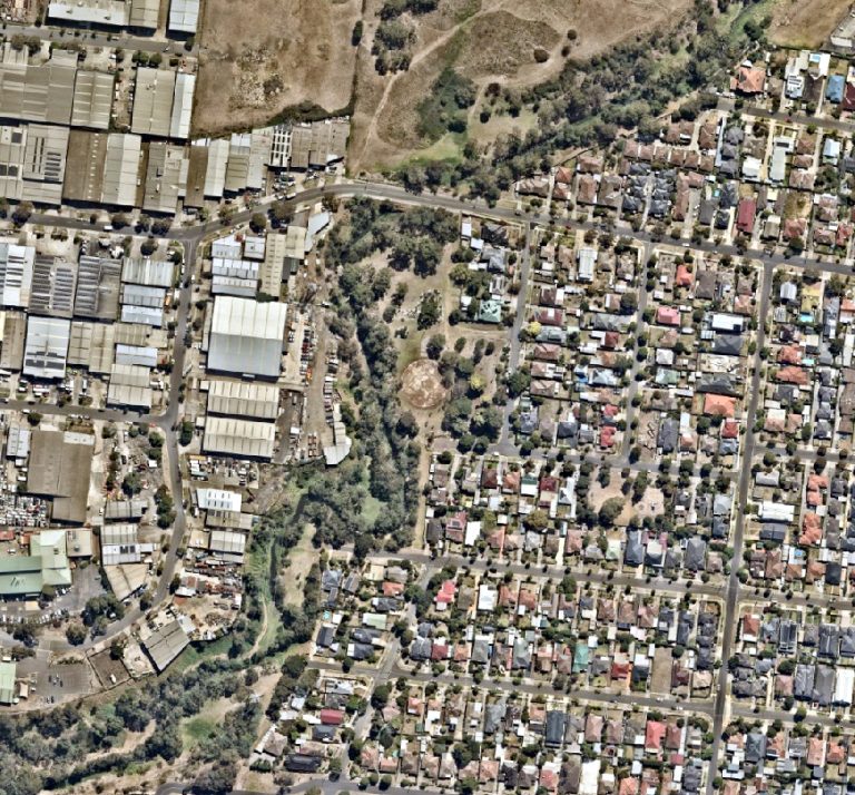
See how a site has changed over time.
Current land use only tells part of the story. Historical imagery can help reveal former activities that may no longer be evident at the site today.
ATLAS lets you view historical context alongside current environmental information, making it easier to investigate how the site and surrounding land have evolved.
Take the same site view with you.
ATLAS is browser-based, so the information you review before a site visit can also be accessed while you are there.
Whether you are at your desk, meeting with your team or standing on site, you can work from the same interactive view.
Different roles, different property decisions, all supported by ATLAS.
Environmental and property information informs decisions across the property lifecycle. ATLAS gives professionals a more interactive way to investigate that information based on the decision they’re making.
Environmental Consultants
Investigate contamination, groundwater, historical land use and other environmental considerations across your study area.
Property Developers
Review environmental, natural hazard and planning considerations before progressing a site.
Underwriters & Insurers
Investigate contamination, PFAS, flood, fire and other property risk information spatially.
Owner-Operators
Investigate environmental and historical information associated with land you're buying, leasing, selling or operating from.
Legal & Conveyancing
Access property information to support environmental and disclosure due diligence
Banks & Lenders
Examine environmental and climate exposure when assessing individual properties or portfolios.
See what ATLAS can show you on a real site.
The best way to understand ATLAS is to see the environmental information come together spatially.
See how you can navigate a study area, control the layers displayed, investigate individual records, explore historical context and work with environmental information without being limited to a static report.
Book a live demonstration with our team and see how ATLAS could fit into the way you work.